
Aerial Photography & Filming for Construction Projects
Information
BIG Air are a result driven company able to offer innovative drone & UAV solutions to our clients.
All our drone & UAVs are easily deployable, display viewable live footage, allow programmable routes and record flight paths, while our specialty drone & UAVs feature customisable payload options; gimbaled 4K camera, thermal/infrared camera.
Our fleet of specialised drone & UAVs provide a solution for all applications and coupled with our tailored
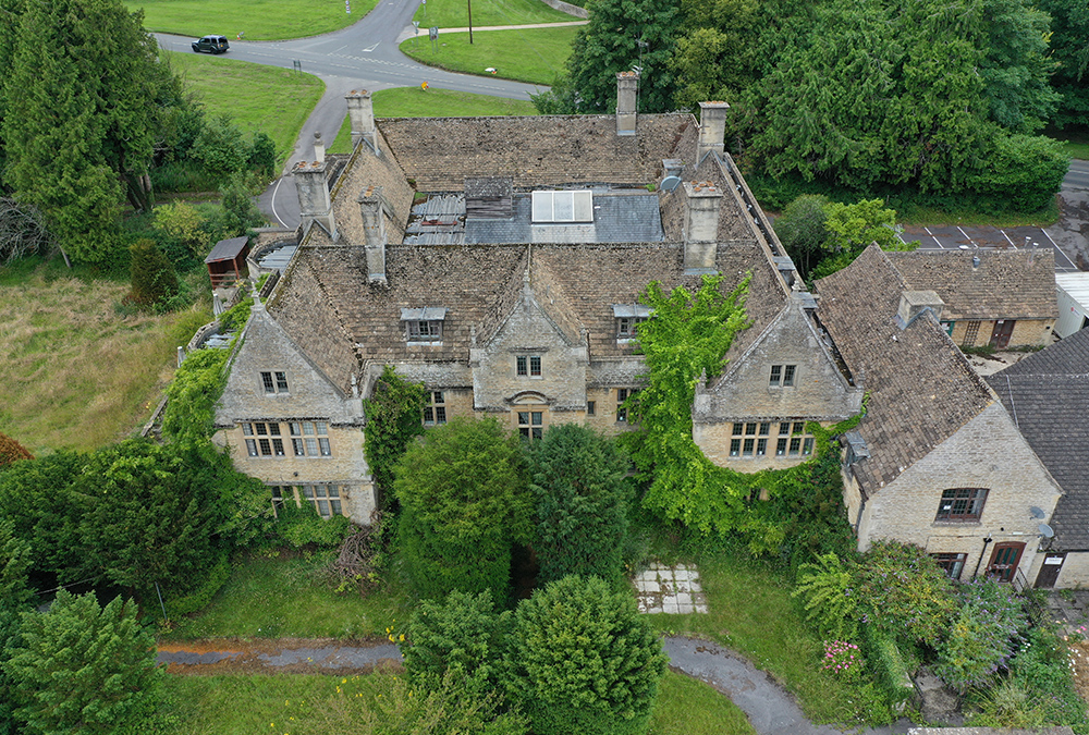
Aerial Photography & Filming
- Raw footage
- Post processed to final product
- Promotional videos
- Events and field days
- Advertising
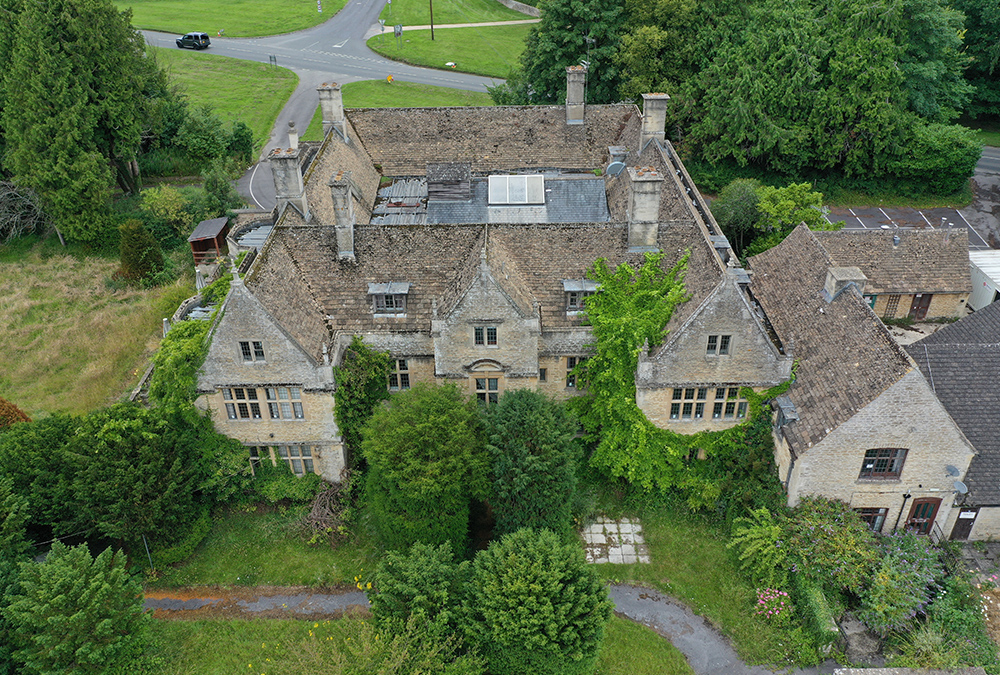
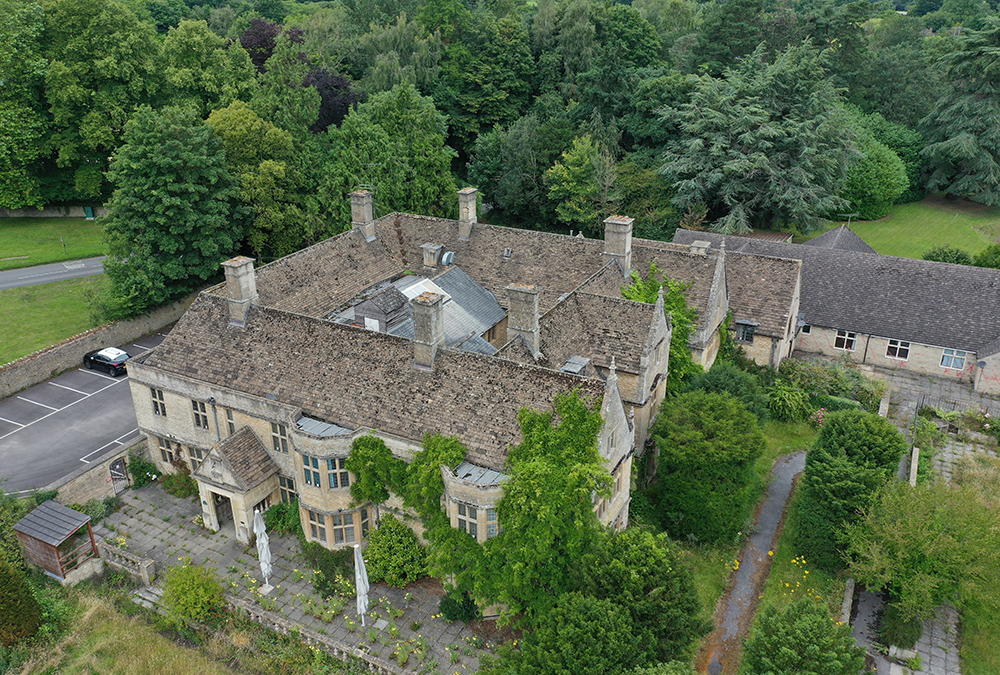
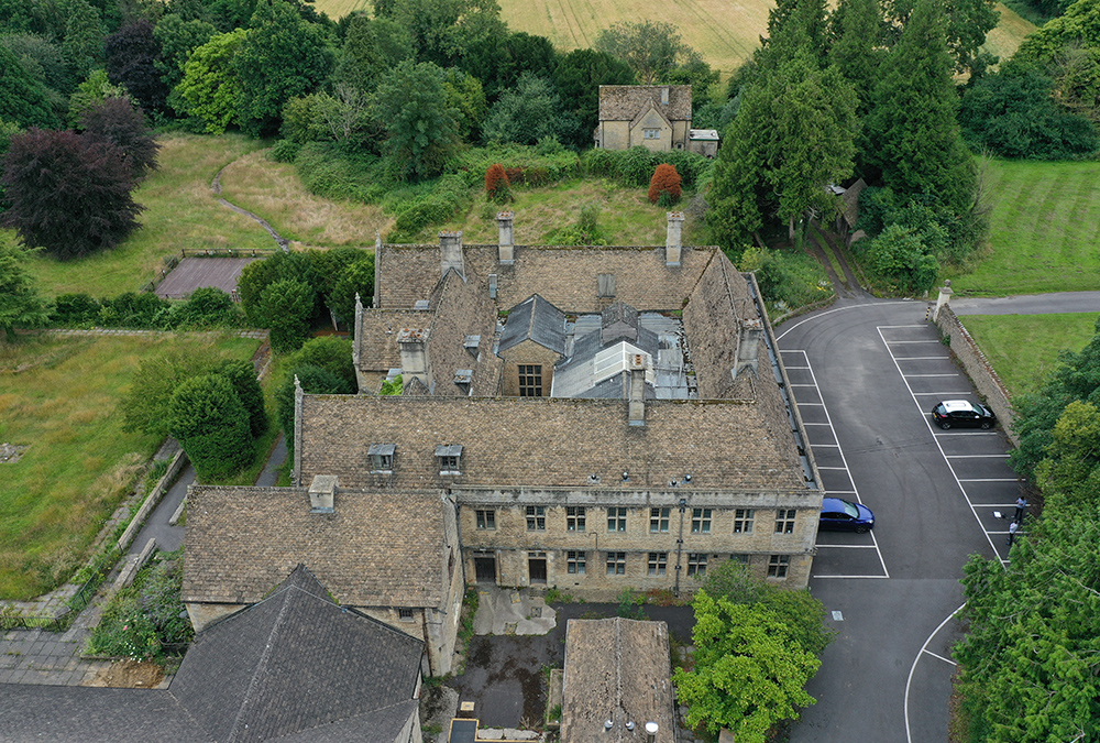
Projects Gallery
Our Clients





Transform Construction Reporting with Aerial Photography and Drone Filming
Construction projects are becoming increasingly complex, involving multiple stakeholders, extensive project sites, and demanding reporting requirements. Traditional site inspections and manual reporting methods often struggle to provide a complete picture of project progress.
Aerial photography and filming solutions have transformed how construction teams monitor, document, and communicate project performance. By utilizing drone technology and advanced imaging systems, project stakeholders gain access to high-quality visual data that supports informed decision-making and improves project transparency.
At Big Solutions, we help project owners, contractors, developers, and infrastructure organizations leverage aerial photography and filming to improve construction progress tracking, enhance reporting accuracy, and provide valuable visual insights throughout the project lifecycle.
What Is Aerial Photography and Filming in Construction?
Aerial photography and filming involve capturing high-resolution images and video footage from elevated perspectives using drones, aircraft, and specialized imaging equipment.
For construction projects, aerial data provides:
- Comprehensive site visibility
- Accurate progress documentation
- Enhanced stakeholder communication
- Improved project reporting
- Better decision-making support
- Historical project records
Unlike ground-level inspections, aerial imaging provides a complete view of project activities, allowing stakeholders to understand site conditions quickly and accurately.
Why Visual Construction Progress Tracking Matters
One of the biggest challenges in construction management is effectively communicating project status.
Written reports, spreadsheets, and numerical data often fail to provide a complete understanding of actual site conditions.
Visual construction progress tracking addresses this challenge by transforming complex project information into clear visual evidence.
Improved Understanding
Project owners and stakeholders can instantly see project progress rather than interpreting lengthy reports.
Enhanced Transparency
Visual documentation creates an objective record of project activities and milestones.
Better Stakeholder Engagement
Images and videos are easier to understand and share across teams, consultants, and clients.
Faster Decision-Making
Visual information helps stakeholders identify issues and opportunities more quickly.
Stronger Project Accountability
Regular visual reporting provides measurable evidence of progress and performance.
The Role of Drone Technology in Construction Monitoring
Drone technology has become an essential tool for modern construction projects.
Drones can safely and efficiently collect data from areas that may be difficult, costly, or hazardous to access using traditional methods.
High-Resolution Site Imaging
Drones capture detailed imagery that supports planning, monitoring, and reporting activities.
Large Area Coverage
Construction sites can be surveyed quickly, even across extensive infrastructure projects.
Frequent Data Collection
Regular flights provide up-to-date information that supports real-time project oversight.
Cost Efficiency
Drone-based monitoring often reduces the time and resources required for traditional site inspections.
Improved Safety
Aerial inspections reduce the need for personnel to access potentially dangerous locations.
Construction Progress Tracking Software and Visual Data
Construction progress tracking software becomes significantly more powerful when combined with aerial imagery and video data.
Visual information enhances reporting by providing context for project performance metrics.
Organizations can use aerial data to:
- Verify project milestones
- Monitor site activities
- Assess completed work
- Compare progress over time
- Validate contractor performance
- Improve reporting accuracy
When integrated into digital reporting platforms, aerial imagery becomes a valuable source of project intelligence.
Benefits of Aerial Photography for Construction Projects
Comprehensive Site Visibility
Aerial photography provides a complete overview of project activities from a single perspective.
This visibility helps stakeholders understand:
- Project layout
- Construction sequencing
- Site logistics
- Resource deployment
- Access routes
- Completed work areas
Accurate Progress Documentation
Regular aerial surveys create an ongoing visual record of project development.
This documentation supports:
- Project reporting
- Contract administration
- Dispute resolution
- Compliance verification
- Historical project archives
Improved Stakeholder Communication
Project owners, consultants, investors, and regulatory agencies often require updates on project status.
Aerial imagery provides an effective way to communicate progress without requiring site visits.
Enhanced Project Reporting
Visual reporting complements traditional project metrics and provides stakeholders with a clearer understanding of project performance.
Aerial Filming for Infrastructure and Large-Scale Projects
Large infrastructure projects often span significant geographic areas.
Examples include:
- Roads and highways
- Rail networks
- Airports
- Energy facilities
- Utilities infrastructure
- Mining operations
Aerial filming provides valuable visibility into these complex projects by capturing site-wide information that may not be visible through ground-based inspections.
Video documentation enables stakeholders to evaluate progress across multiple work zones while maintaining a comprehensive understanding of project conditions.
Time-Lapse Construction Monitoring
Time-lapse photography has become one of the most effective visual reporting tools in the construction industry. By capturing images at scheduled intervals throughout a project, time-lapse systems create a complete visual timeline of construction activities.
Project owners and stakeholders benefit from:
Continuous Project Documentation
Every stage of construction is recorded, creating a detailed visual history of the project.
Progress Verification
Time-lapse footage helps verify completed work and monitor contractor performance.
Enhanced Reporting
Visual timelines provide compelling evidence of project advancement for stakeholders, investors, and regulatory authorities.
Marketing and Project Showcase Opportunities
Completed time-lapse videos can be used to demonstrate project success and highlight construction expertise.
Aerial Surveys and Site Intelligence
Aerial photography does more than provide attractive visuals. It generates valuable site intelligence that supports project planning and management.
Existing Conditions Assessment
Before construction begins, aerial surveys provide accurate documentation of site conditions.
Progress Benchmarking
Comparing aerial surveys over time enables project teams to evaluate construction performance against planned schedules.
Site Logistics Planning
Aerial imagery helps optimize access routes, material storage locations, equipment deployment, and workforce movement.
Environmental Monitoring
Large infrastructure projects often require ongoing environmental assessments. Aerial surveys support monitoring and compliance reporting activities.
Drone Reporting Workflows for Construction Projects
Modern construction organizations increasingly integrate drone operations into their reporting workflows.
A typical workflow includes:
Data Capture
Drone flights collect images, videos, and geospatial information from the project site.
Data Processing
Captured information is processed into usable formats such as orthomosaics, progress maps, and visual reports.
Analysis and Review
Project teams analyze imagery to identify progress trends, site challenges, and operational opportunities.
Reporting and Distribution
Results are incorporated into project reports and shared with stakeholders through digital platforms and dashboards.
This structured approach improves reporting consistency while reducing manual effort.
Integrating Aerial Data with Construction Progress Tracking Software
One of the most powerful applications of aerial photography is integration with construction progress tracking software.
By combining visual and performance data, organizations gain deeper insights into project execution.
Improved Progress Validation
Visual evidence confirms reported completion percentages and project milestones.
Enhanced Reporting Accuracy
Project reports become more reliable when supported by photographic documentation.
Better Forecasting
Historical imagery helps identify trends and improve schedule forecasting accuracy.
Stronger Stakeholder Confidence
Investors, owners, and project sponsors gain greater trust in reporting processes when visual evidence supports project metrics.
GIS Mapping and Geospatial Construction Intelligence
Geographic Information Systems (GIS) play an increasingly important role in modern construction management.
When combined with aerial photography, GIS technology creates powerful site intelligence solutions.
Benefits include:
- Accurate site mapping
- Asset location tracking
- Infrastructure planning
- Progress visualization
- Utility management
- Spatial data analysis
Geospatial intelligence provides construction organizations with a more comprehensive understanding of project conditions and performance.
Data-Driven Construction Reporting Through Visual Intelligence
Construction projects generate enormous volumes of information.
Visual intelligence helps convert this data into actionable insights.
Organizations can use aerial photography and drone data to:
Monitor Project Performance
Track construction activities and evaluate progress against project objectives.
Identify Risks Early
Detect potential issues before they impact schedules or budgets.
Improve Resource Allocation
Understand site activity patterns and optimize workforce deployment.
Support Executive Reporting
Provide leadership teams with clear visual summaries of project status.
The result is a more informed, data-driven approach to project delivery.
Benefits of Partnering with Big Solutions
Big Solutions combines advanced imaging technologies, construction expertise, and digital reporting capabilities to deliver meaningful project insights.
Our aerial photography and filming services provide:
Comprehensive Project Visibility
Capture every stage of construction with high-resolution visual documentation.
Reliable Reporting
Support project reporting with accurate, objective visual evidence.
Improved Decision-Making
Access actionable insights that help teams manage projects more effectively.
Enhanced Stakeholder Engagement
Deliver compelling visual updates that improve communication and transparency.
Scalable Project Support
From commercial developments to major infrastructure projects, our solutions are designed to support projects of every size and complexity.
Improve Construction Visibility Through Aerial Intelligence
Effective project management requires accurate information, clear communication, and reliable reporting.
Big Solutions helps organizations achieve these goals through advanced aerial photography and filming services that support visual construction progress tracking, project reporting, and digital project oversight.
Whether managing a commercial development, transportation project, utility program, or major infrastructure investment, our aerial monitoring solutions provide the visibility needed to improve project performance and stakeholder confidence.
Contact Big Solutions today to learn how aerial photography and visual reporting can strengthen your construction monitoring strategy.
Frequently Asked Questions
Aerial photography involves capturing images of construction sites from elevated perspectives using drones or other aerial platforms to support monitoring and reporting activities.
Aerial imagery provides visual evidence of completed work, site conditions, and project milestones, making it easier to track progress accurately.
Drone filming improves site visibility, enhances reporting, supports stakeholder communication, and provides valuable project documentation.
While aerial photography significantly enhances project visibility, it is most effective when combined with field inspections and project management processes.
The frequency depends on project requirements. Many projects conduct weekly, bi-weekly, or monthly aerial surveys to maintain accurate progress records.
Commercial construction, infrastructure projects, transportation developments, energy facilities, utilities, mining operations, and large-scale developments all benefit from aerial monitoring.
Visual reporting provides clear evidence of project progress, helping stakeholders understand project status without requiring frequent site visits.
Yes. Drone imagery and video data are increasingly used as part of professional project reporting and monitoring programs.